Drone Videography
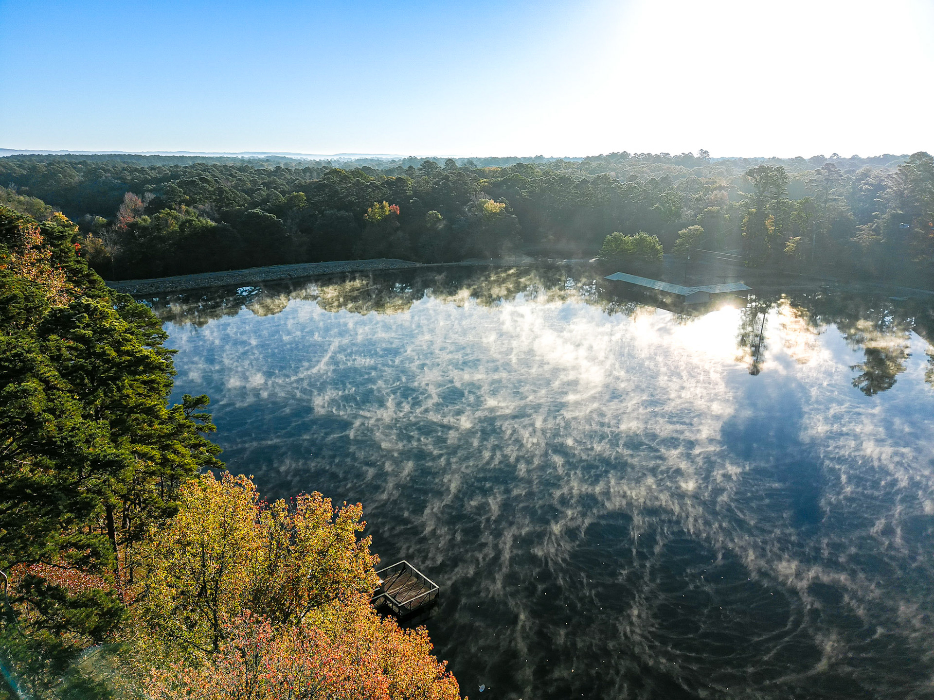
Using our advanced drones equipped with high-definition cameras, our team captures unique and breathtaking views that aren’t possible with traditional ground-based cameras.


Aerial Survey, Mapping & Modeling
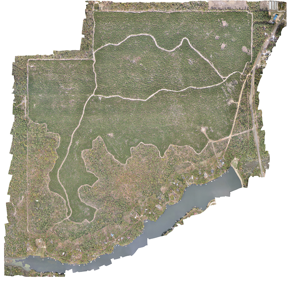
Our team captures high-resolution data from the air to create detailed maps, 3D models of land and infrastructure and environment conditions. This results in high data accuracy, efficient data collection, cost effectiveness and the ability to access and analyze hard-to-reach areas.
Postproduction & Analysis
We examine and process the raw drone footage and turn it into actionable insights, enabling your team to make informed decisions and improve various applications.

Our Current Drone Capabilities
- First Person View (FPV)
- Orthomosaic
- Elevation
- Plant Health
- Volumetric Analysis
- General Measurements
- 3D Renderings
- Satellite Image Replacements (i.e. Google Maps section)
- Photo Shooting and Postproduction
- Commercials and B-roll
- Cinematic Video Shooting and Postproduction
